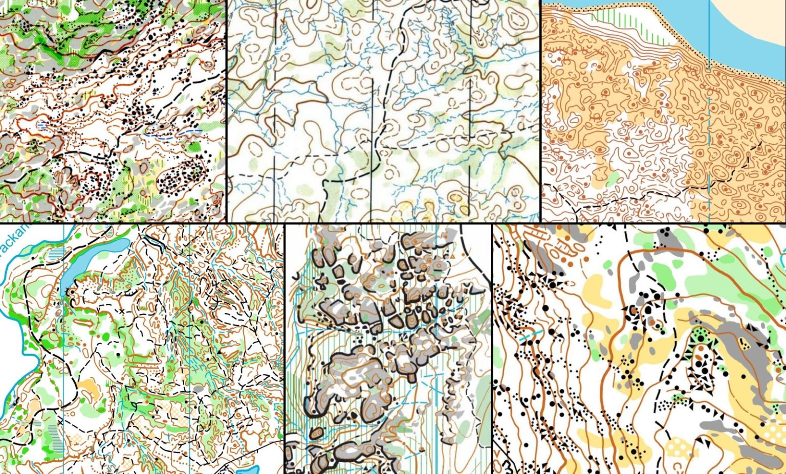
Orienteering maps are some of the most beautiful cartographic representations of the earth that you will ever see. The late Eric Andrews, a highly respected mapper of Australian forest terrain, described the skill of making these maps as “Bush Art”.

Eric mapped in an era of analog map making. Twenty years on, the skill of making orienteering maps is now increasingly based upon digital data and tighter specifications. There is less room for individual flair in map making.
Despite this, the art of terrain representation can be seen in a well drafted orienteering map. Beauty is today perceived in the interaction of terrain shapes and the work of the map maker. Boring terrain will not make a beautiful map, and excellent terrain needs an experienced mapper to bring out the beauty.
Maps of terrain such as the Rowdy Flat sluice mining, the granite of Queensland’s Cascades and West Australia’s Hill Park Dale, the sand dunes of Tasmania’s Pittwater, the beguiling contours of the Flinders Ranges or the pagoda rock formations of Gardiners Gap in the Blue Mountains are seen as works of the mapping art by Australian orienteers.
Beautiful orienteering maps can be found across the world. Here are some links to follow if you wish to explore the world of orienteering maps: